Tarih: Issue 76 - July 2017
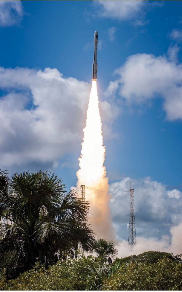
The high-resolution images received from Göktürk-1 were shared with the public for the first time during IDEF 2017. Göktürk-1 is Turkey’s highest resolution Reconnaissance and Surveillance Satellite. It was procured by the Undersecretariat for Defense Industries to cater to the satellite image requirement of the Turkish Armed Forces for target intelligence. The satellite was successfully launched on December 05, 2016 with the Vega Launch Vehicle from the Kourou Launching Base in French Guyana in South America,
Having undergone testing and commissioning since its launch date up until today, the satellite has captured more than 1000 square and strip test images in a period of 6 months. Some of the images were used for image calibration, and some were used to serve the requirements of the Turkish Air Force Command.
The Göktürk-1 Satellite, the final acceptance of which will be realized in the 3rd quarter of 2017, is being operated from the ground station located at the Air Force Command’s Ankara Ahlatlıbel, Reconnaissance Satellite Battalion Command through a nationally developed crypto located on the satellite.


.jpg)